News - Construction News
New flood scheme to better protect Worcester road from flooding
The £2.5m flood scheme will help defend 26 homes in Toronto Close, after flooding of recent years. Protection includes an embankment, wall and gates.
The Environment Agency has started work, in collaboration with Worcestershire County Council, on a new £2.5 million flood-risk management scheme to help better protect homes in Toronto Close in the Lower Wick area of Worcester from flooding.
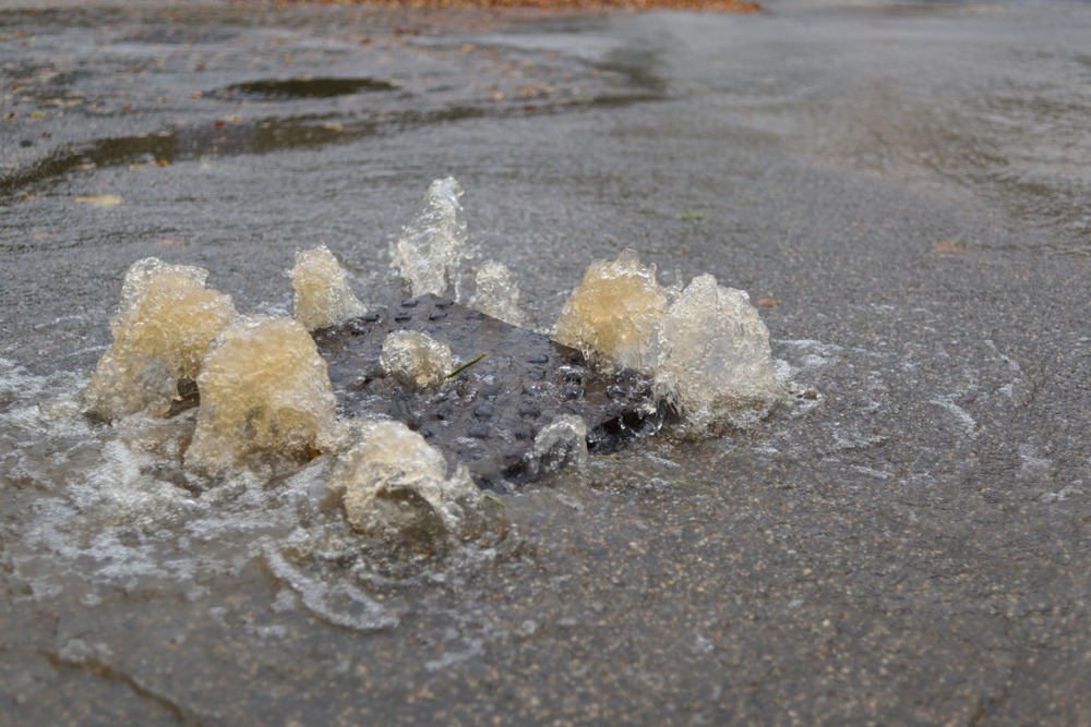
Toronto Close has a history of flooding from the River Severn and River Teme, which impacts the water level of the nearby Laughern Brook during and after heavy rainfall.
In July 2007, 16 properties flooded, with the depth of water reaching up to 800mm. Further flooding took place in 2020 during Storm Dennis, when many residents had to evacuate their homes.
Charles Chandler, area flood-risk manager for the Environment Agency, said: “We know the devastating impact that flooding can have, and, sadly, has been experienced first-hand by some residents of Toronto Close. We are very pleased to be starting work on this flood risk management scheme for the road to better protect homes from flooding.”
Councillor Richard Morris, Worcestershire County Council’s cabinet member for the environment, added: “We’re delighted that work on this scheme is about to begin. Homes in Toronto Close have suffered with flooding in the past and this work will significantly reduce the impact in future, and benefit the residents.”
The scheme starts in open ground to the west of Toronto Close and ties into high ground at Teme Court. It is approximately 255m long and consists of an embankment across open land and through residential gardens along Laughern Brook as well as the strengthening and rebuilding of the existing historic wall along Old Road.
Two flood gates will also be installed in front of existing accesses from Toronto Close onto Old Road. These gates will normally be open, and only closed in the event of a flood.
The crest height of the embankments and walls is based on historic flood level and the structures will, at their highest, be around 1.5m above existing ground level, reducing the risk of flooding to properties within Toronto Close from flooding like that experienced in 2007 and 2020.
Charles Chandler from the Environment Agenc, said: ‘We are very pleased to be starting work on a flood-risk management scheme for Toronto Close to better protect homes from flooding.”
Work has begun by contractor Alun Griffiths after the scheme successfully secured planning permission in September.
If you would like to read more stories like this, then please click here


More News
- Hundreds More Schools to Receive Solar Panels as Government Expands £255 Million Programme
31 Jul 26
The Department for Education has announced the next wave of its school solar programme.
- Port of Tyne Clean Energy Park Cleared for Acceleration as MMO Appointed Lead Environmental Regulator
30 Jul 26
The government has appointed the Marine Management Organisation as Lead Environmental Regulator for the Port
- British Steel Taken into Public Ownership as Government Acts to Secure Domestic Supply Chains
29 Jul 26
The government has taken British Steel into public ownership.